上高地, Nagano- Japanese Home Cooking and Sweets Class in Tokyo
Kamikochi Opening Period and Winter Closure
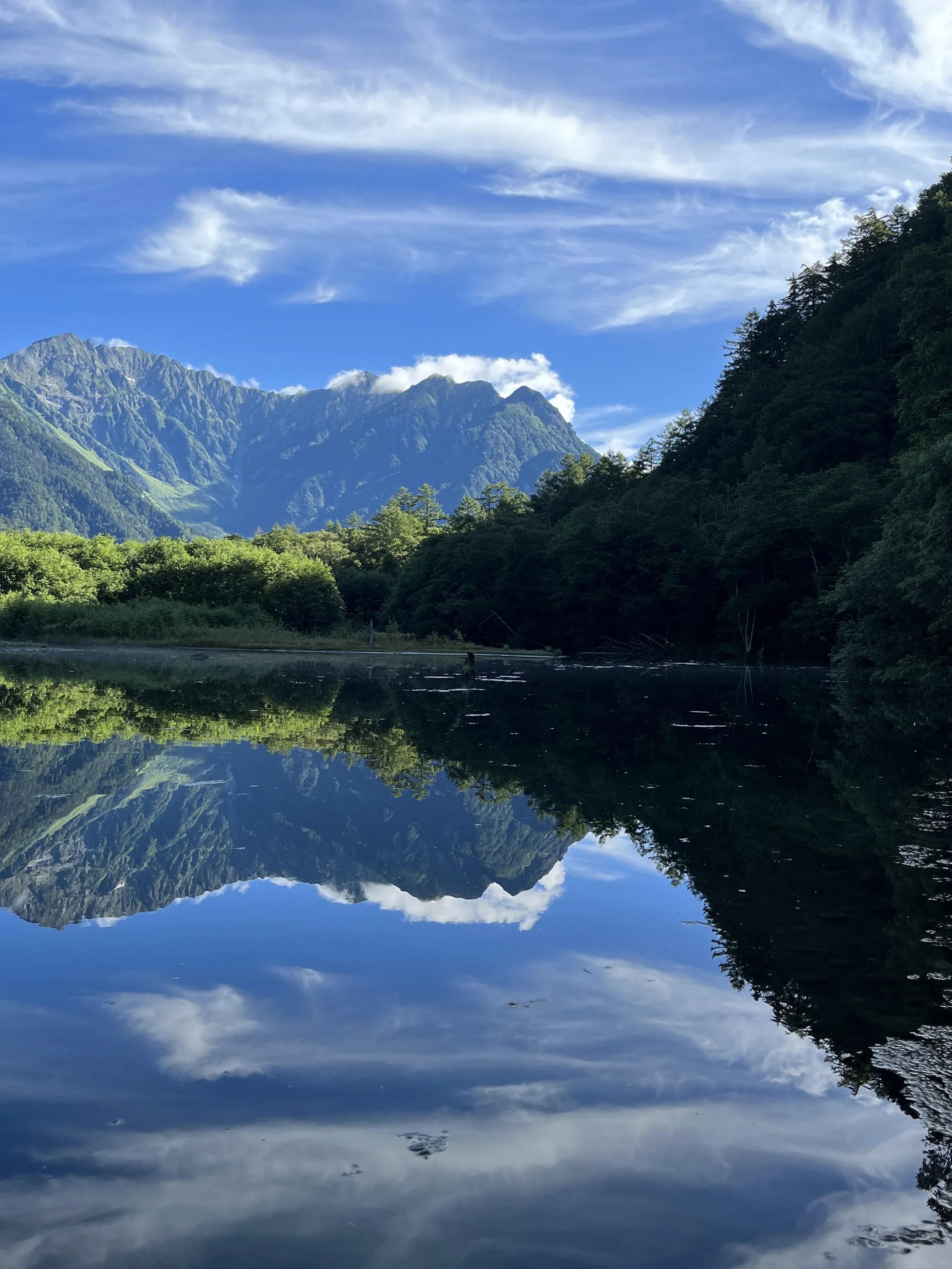
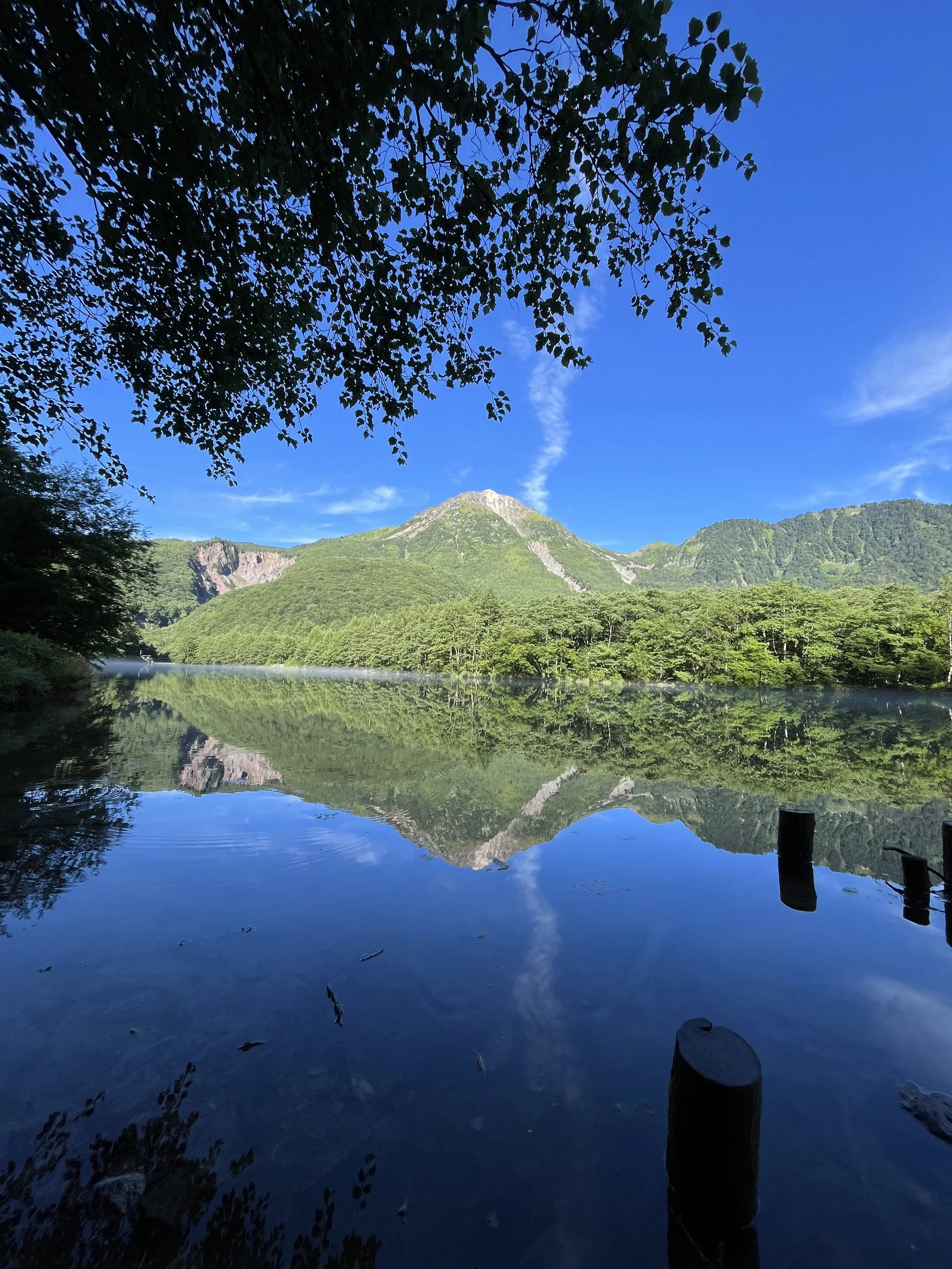
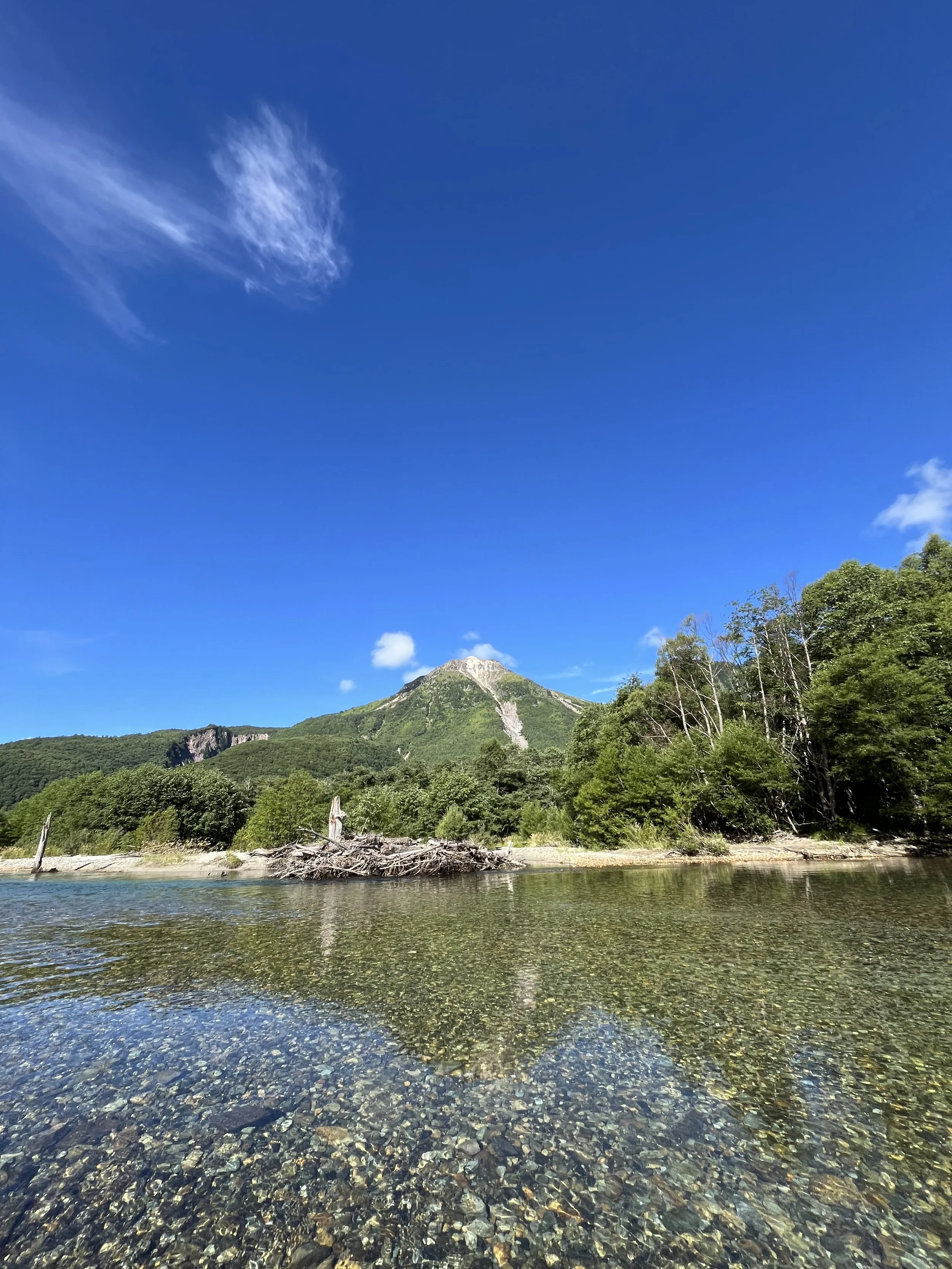
Kamikochi, located in Matsumoto City, Nagano Prefecture, is a mountainous scenic area at an elevation of approximately 1,500 meters. It is part of the Chūbu-Sangaku National Park and designated as a Special Place of Scenic Beauty and Special Natural Monument by the Japanese government. A flat valley stretches about 10 kilometers along the clear Azusa River, from Taisho Pond to Yokoo, offering spectacular views of the Northern Alps, including the Hotaka Mountain Range and Mount Yake. This makes it a popular destination for both domestic and international hikers and tourists.
上高地, Nagano- Japanese Home Cooking and Sweets Class in Tokyo
上高地, Nagano- Japanese Home Cooking and Sweets Class in Tokyo
上高地, Nagano- Japanese Home Cooking and Sweets Class in Tokyo
Overview and Formation of Kamikochi
Kamikochi lies in the upper reaches of the Azusa River in the southern Hida Mountains (Northern Alps). The landscape was formed when volcanic activity dammed the Azusa River, followed by sediment deposition. The entire area belongs to Matsumoto City and is equipped with lodging facilities and hot springs, serving as a base for mountaineering.
Elevation: Approximately 1,500 meters (average temperature 5–10°C lower than Matsumoto city center)
Opening period: Mid-April to mid-November (during winter, facilities are closed and access is restricted)
Access: Due to vehicle restrictions, private cars are not allowed. Access is typically by train + bus or direct highway bus.
上高地, Nagano- Japanese Home Cooking and Sweets Class in Tokyo
上高地, Nagano- Japanese Home Cooking and Sweets Class in Tokyo
Main Sightseeing Spots
Kamikochi features several popular walking spots:
Kappa Bridge: A wooden suspension bridge over the Azusa River, famous for its stunning views of the Hotaka Mountain Range. It ranks as the most visited suspension bridge by foreign tourists in Japan.
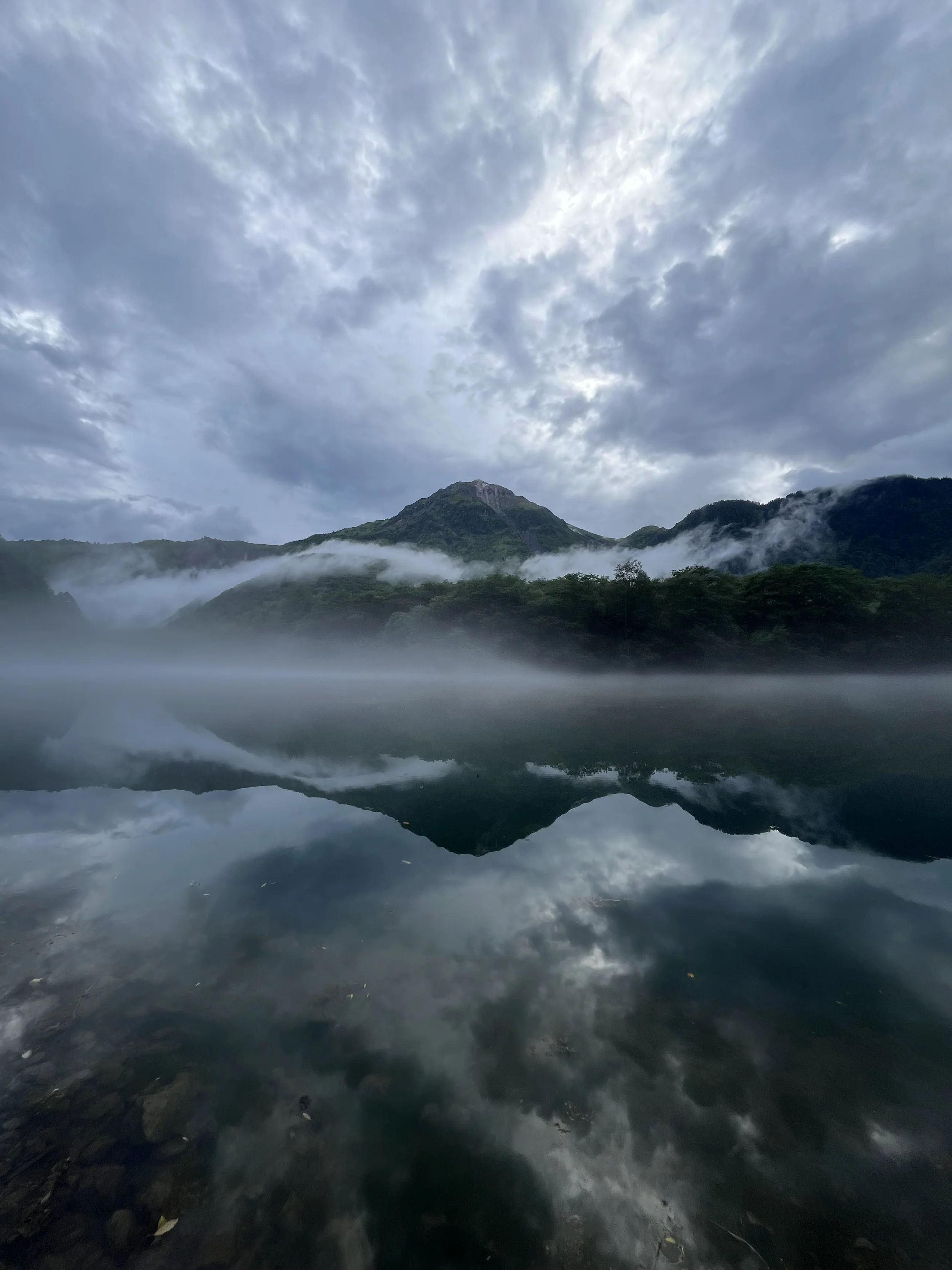
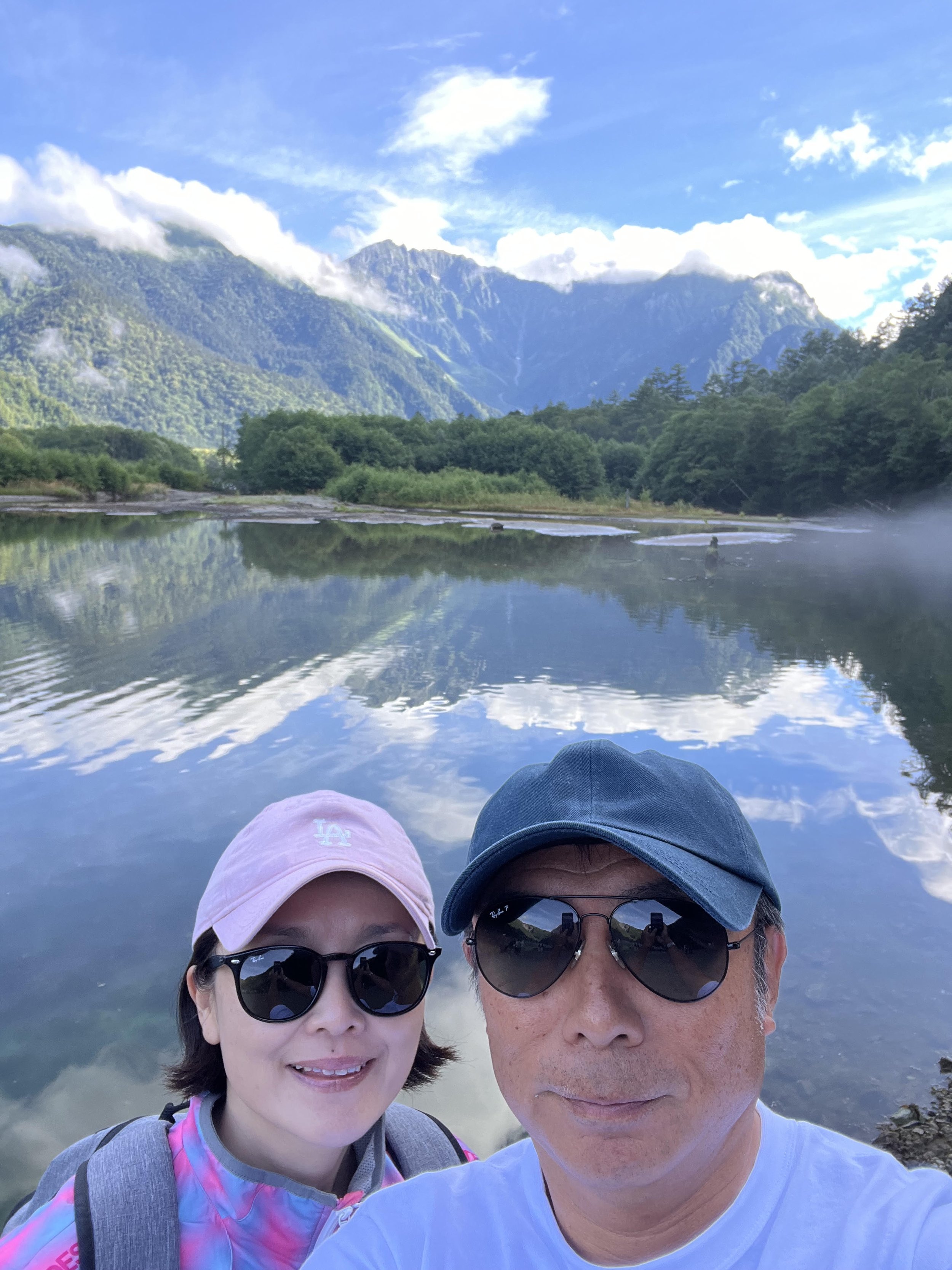
Taisho Pond: Formed by an eruption of Mount Yake, this pond beautifully reflects the surrounding mountains and serves as a starting point for walks.
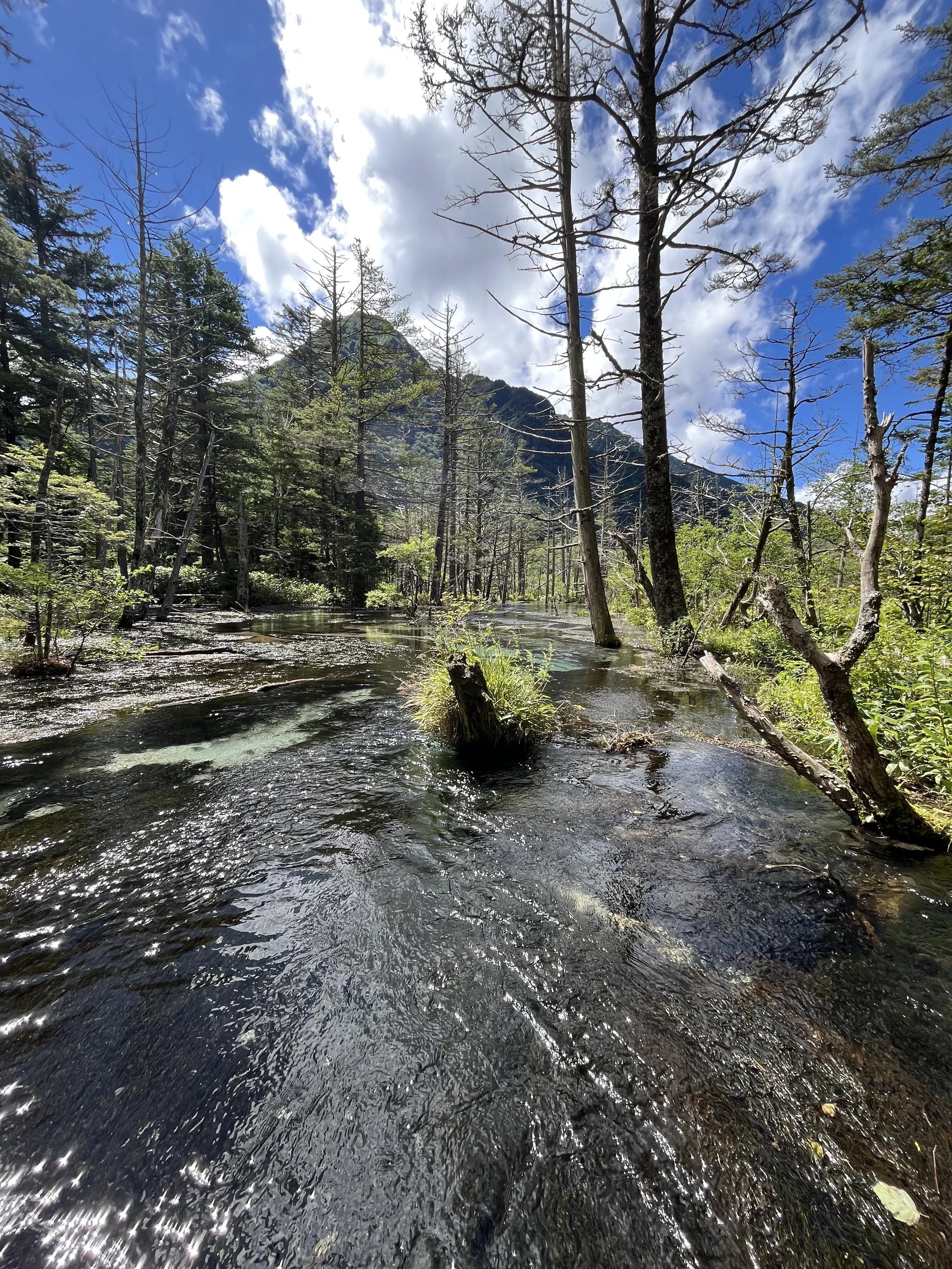
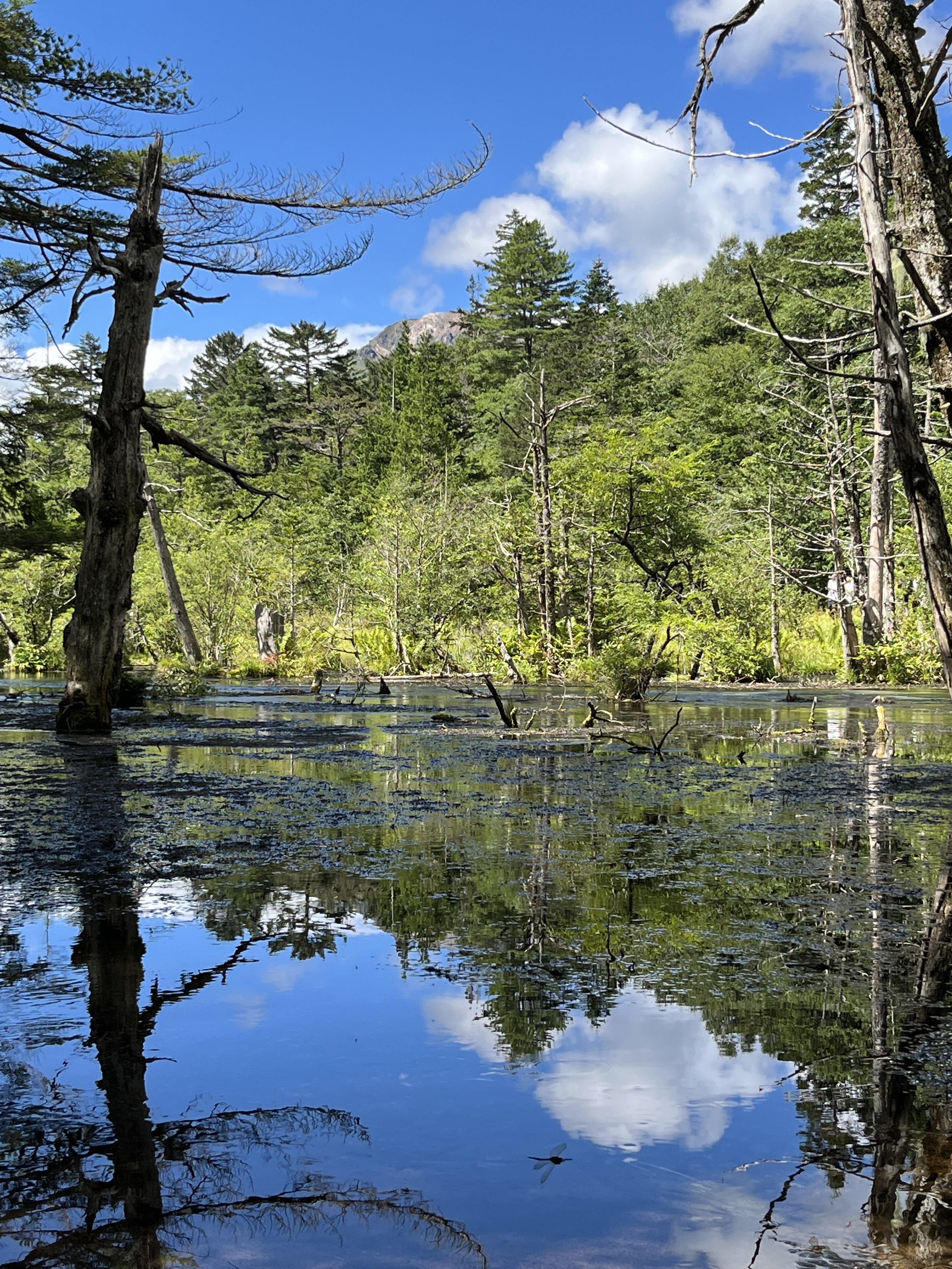
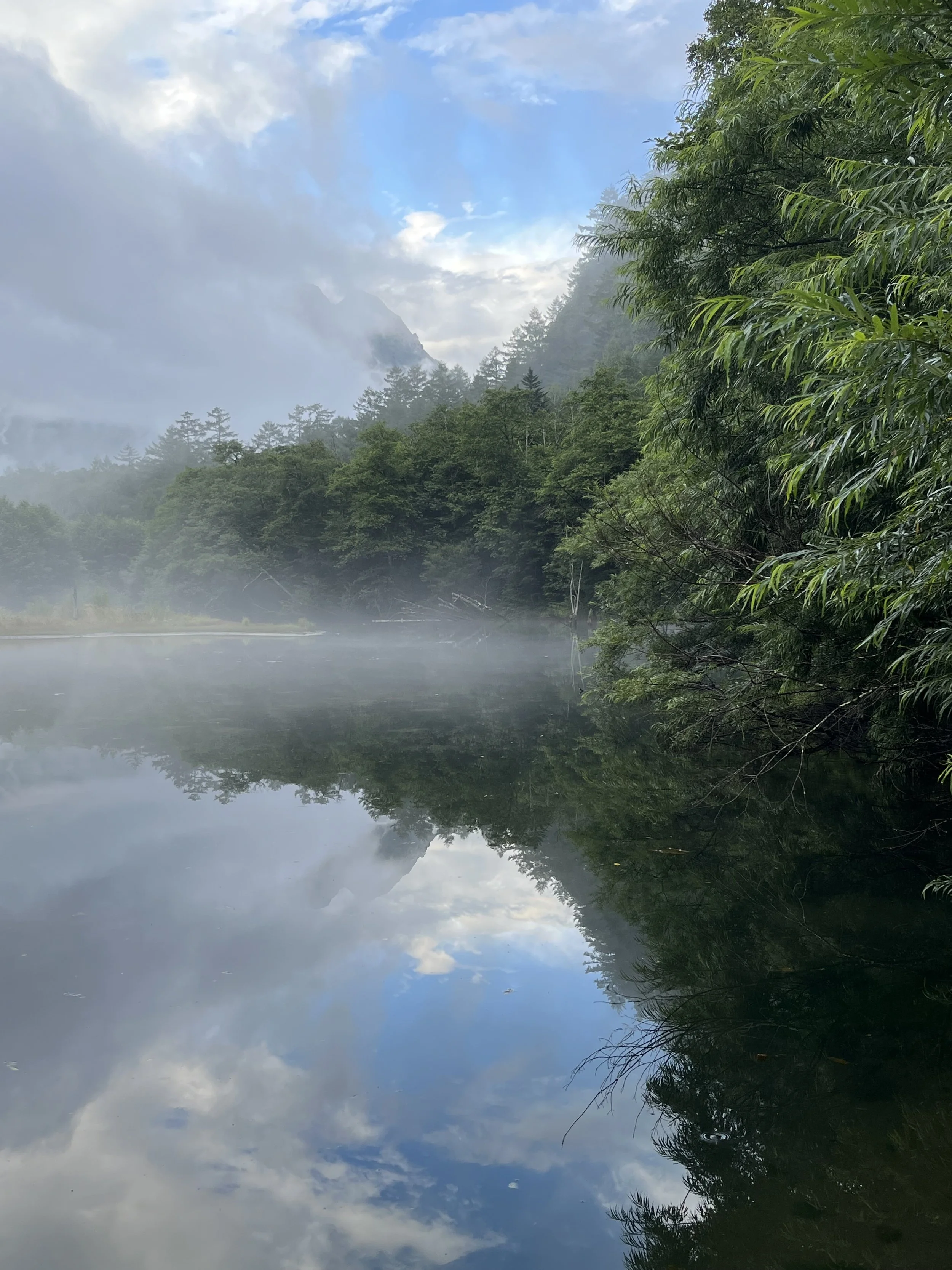
Tashiro Pond and Tashiro Marsh: A quiet area with ponds and marshes, ideal for nature observation and photography.
Myojin Pond: A sacred pond located within the grounds of the Okumiya shrine of Hotaka Shrine.
Recent Trends and Challenges
With the increase in tourists, issues such as illegal dumping of trash and visitor misconduct have arisen. In 2025, Kamikochi saw about 1.66 million visitors, the highest level in 22 years, prompting Matsumoto City to consider introducing a visitor fee starting in 2028. In August 2026, many tourists visited the area around Kappa Bridge on "Mountain Day," where seasonal events such as a quiz rally offering commemorative gifts were also held.
上高地, Nagano- Japanese Home Cooking and Sweets Class in Tokyo
Access Tips
Train + Bus: Matsumoto Station → (Ōito Line) → Shin-Shimashima Station → (local bus) → Kamikochi
Highway Bus: Direct buses operate from Tokyo, Osaka, Kyoto, Nagano, and other major cities.
Private Vehicle Restriction: Private cars are prohibited year-round; bus access is mandatory.
上高地, Nagano- Japanese Home Cooking and Sweets Class in Tokyo
Kamikochi offers easy access to the magnificent nature of the Northern Alps, suitable for everything from casual hiking to serious mountaineering. The scenery changes with the seasons, making the periods of fresh greenery in spring and autumn foliage especially recommended.
Recommended First-Time Hiking Courses in Kamikochi
Beginner-Friendly Classic Course
Taisho Pond Bus Stop → Taisho Pond → Tashiro Pond & Marsh → Tashiro Bridge → Kappa Bridge
Distance: Approximately 4 km
Walking time: About 1 hour 20 minutes
Including photo stops and breaks: About 2 to 2.5 hours
Mostly flat and easy to walk
Enjoy views of the Hotaka Mountain Range, Mount Yake, the Azusa River, and marshlands
Take the bus to "Taisho Pond" and walk toward Kappa Bridge to face the Hotaka Mountains. From Kappa Bridge, it is about a 5-minute walk to the Kamikochi Bus Terminal. Kamikochi Official Walking Courses
For Those Who Want to Walk a Bit More
Taisho Pond → Kappa Bridge → Myojin Pond → Kamikochi Bus Terminal
Distance: Approximately 10 km
Including breaks and sightseeing: About 4 to 5 hours
Myojin Pond is within the precincts of Hotaka Shrine Okumiya; an admission fee is required
Walking along both banks of the Azusa River on the way out and back allows you to enjoy changes in scenery
上高地, Nagano- Japanese Home Cooking and Sweets Class in Tokyo
上高地, Nagano- Japanese Home Cooking and Sweets Class in Tokyo
Clothing and Gear
Comfortable sneakers or hiking shoes
Hat, drinking water, and sunscreen
Light jacket and rain gear
Insect repellent
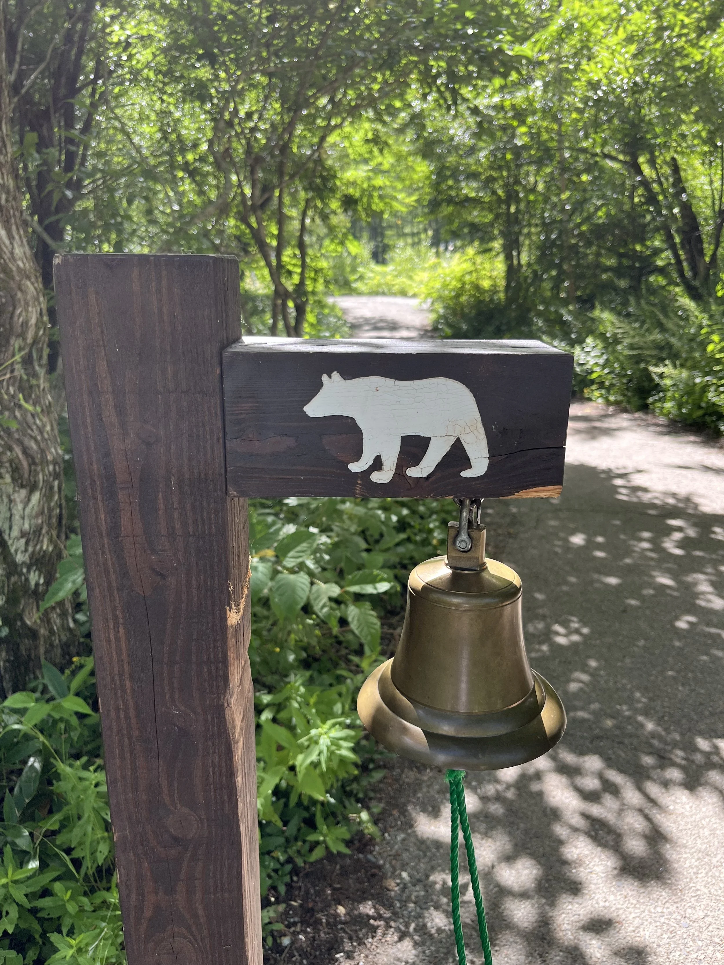
Bear bell (recommended for early morning or less crowded areas)
Kamikochi is at an elevation of about 1,500 meters, so even in summer, mornings and evenings can be cool, and weather conditions can change rapidly.
Please note that private vehicles cannot enter Kamikochi directly. From the Matsumoto side, park at Sawado; from the Takayama side, park at Akandana Parking Lot, then transfer to a shuttle bus or taxi. The vehicle restriction period for 2026 is from April 17 to November 15.